1819 — Florida Becomes Part of the U.S.
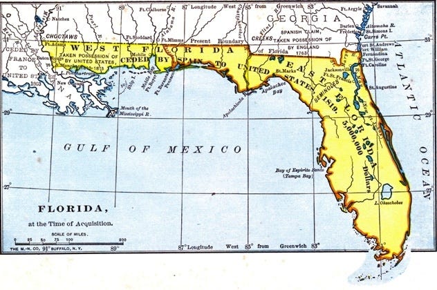
public domain image from wikimedia commons
On this date in 1819, Florida became part of the United States when the remainder of it still controlled by Spain was ceded to the U.S. by Spain in a deal brokered by Spanish official Do Luis de Onis and then-Secretary of State and future U.S. President John Quincy Adams (1767-1848).
Spain had colonized Florida in the 1500s but had to defend it against its original inhabitants, the Native Americans, and the British colonizers. Spain first lost Florida with the 1763 Treaty of Paris after belatedly betting wrong and backing France in the American Colonies’ French and Indian Wars (which the French, Indians, and Spanish lost), but then Spain got Florida back as a result of the second (1783) Treaty of Paris following the Revolutionary War.
Florida became a U.S. Territory in 1822 and then a (slave) State in 1845.
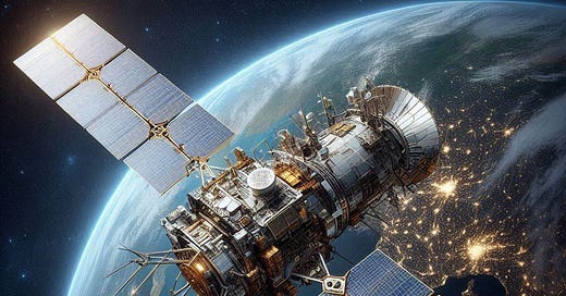
image generated using Bing Image Creator
Questions: What price did the U.S. have to pay for Florida in 1819, if anything? When was John Q. Adams President? When was John Adams (John Q’s father) President?
1978 — GPS Satellite Launched
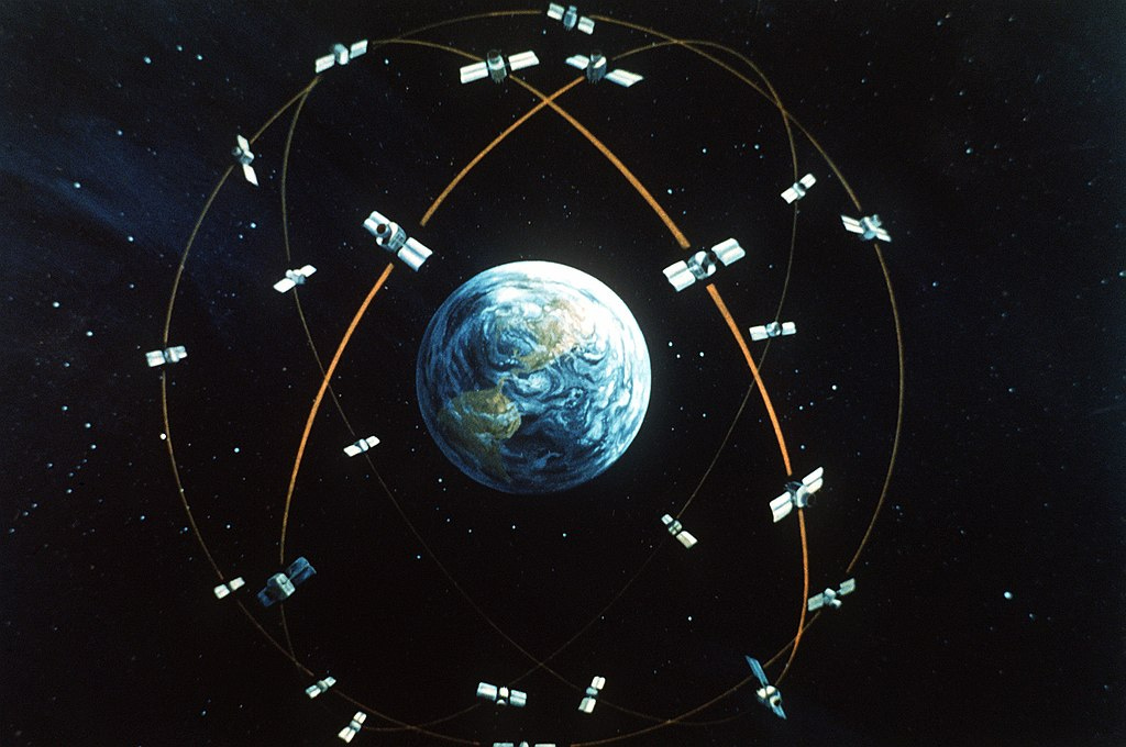
public domain image from wikimedia commons
The first GPS Satellite, NavStar 1, was launched in 1978 on this date from Vandenberg Air Force (now Space Force) Base in Santa Barbara County, California. As can probably be deduced, its first use was for military purposes, but since then the uses of GPS have become almost ubiquitous, affecting communication (think of cell phones and their innate ability to track your location), transportation (such as ships and airplanes and automobiles — who doesn’t use GPS-powered apps to eschew the old-school unfoldable but not refoldable paper maps when finding their way to an unfamiliar address?).
GPS satellites travel through the sky at an altitude of 12,550 miles — far, far above commercial airplanes (who, according to The Byrds, propelled themselves along at 8 Miles High, but in reality typically cruise along at an altitude of a little less than seven miles (except when taking off and landing, of course)). The GPS satellites circle the globe twice a day. The result for us is that a specific spot on earth can be calculated within several feet almost all of the time (you can experience this when a navigational app such as Google Maps or Waze tells you to turn at the next stop sign or light and when you have arrived at your destination pretty much simultaneously with when you can identify it visually).
In late 1983, the U.S. declassified (in other words, made publicly available, declaring as no longer a guarded military secret) its GPS technology. This move came as a result of the shooting down of a Korean airliner by Russia when the craft presumably inadvertently strayed into Russia’s airspace. This was to enable pilots to know exactly where they were in space in relation to national air boundaries.
The current configuration (“constellation”) of twenty-four U.S. GPS satellites have been fully operational since 1995. The first cell phone with GPS capability was made available in 1999.
image generated using Bing Image Creator
Questions: Who pays for GPS satellite operations? Who benefits? What are the downsides of GPS? Have any GPS satellites ever malfunctioned? If so, have they fallen to the earth? How often do you use GPS technology? When was the last time (if ever) you saw a car pulled over to the side of the road, with its driver looking at a paper map spread out on the hood of his vehicle? Do you share your location with anyone using GPS technology?


